MONT LA PÉROUSE
- Dives between -60 and -140m
- 120 species recorded: 10 currently being identified
- 10-day expedition
- Mont La Pérouse, 90 nautical miles NW of Reunion Island
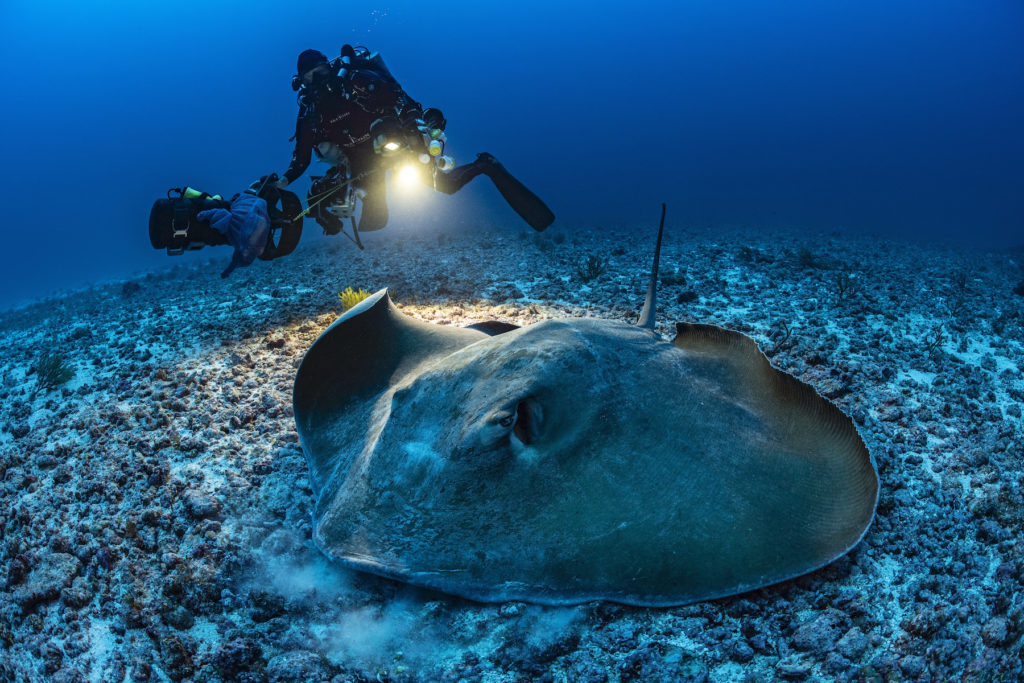
An oceanographic team made up of scientists from Galaxéa/Vie Océane and biologist-divers from Andromède Océanologie set out to study, illustrate and raise awareness of the little-known Mont La Pérouse (160 km/90 nautical miles NW of La Réunion – Indian Ocean), an undersea mountain of which no images had been brought back until now.
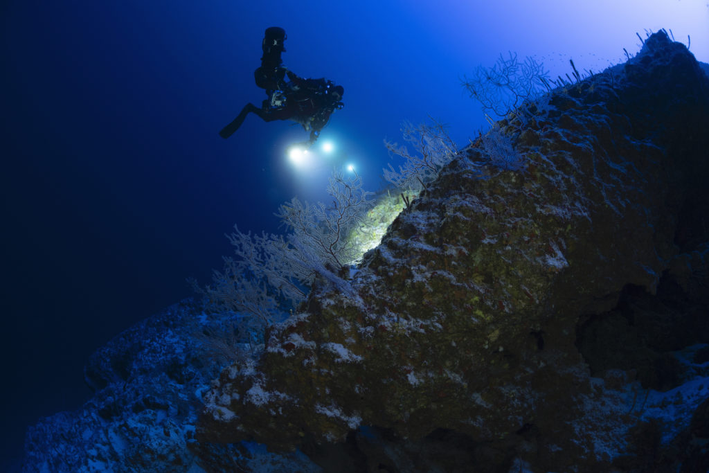
The 9 exploration dives (including one at night), from the summit to a depth of 140 m, enabled us to draw up the first biological inventory of this oceanic biodiversity hot spot. At the same time, the surface team carried out precise mapping of the site in order to define relevant immersion points.
- Mission report
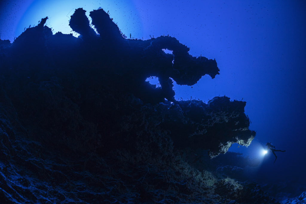
Mont La Pérouse appears to be a very old volcanic formation with an entirely limestone dome. It has a distinctive shape, with a plateau-like summit (15 km long by 5 km wide) culminating at a depth of between 60 and 65 metres. It’s a structure that probably rose out of the water when it was formed, then underwent erosion in the open air. Mont La Pérouse was indeed an island at some point in its history. Swept away by winds, waves and storms that abraded and flattened its summit, it gradually sank back below the surface when sea levels rose by 120 m 20,000 years ago. Studies of the plateau’s substrate are currently underway.
Performance: Committed dives from -60 to -140m to carry out exploration and illustration work (photography and video).
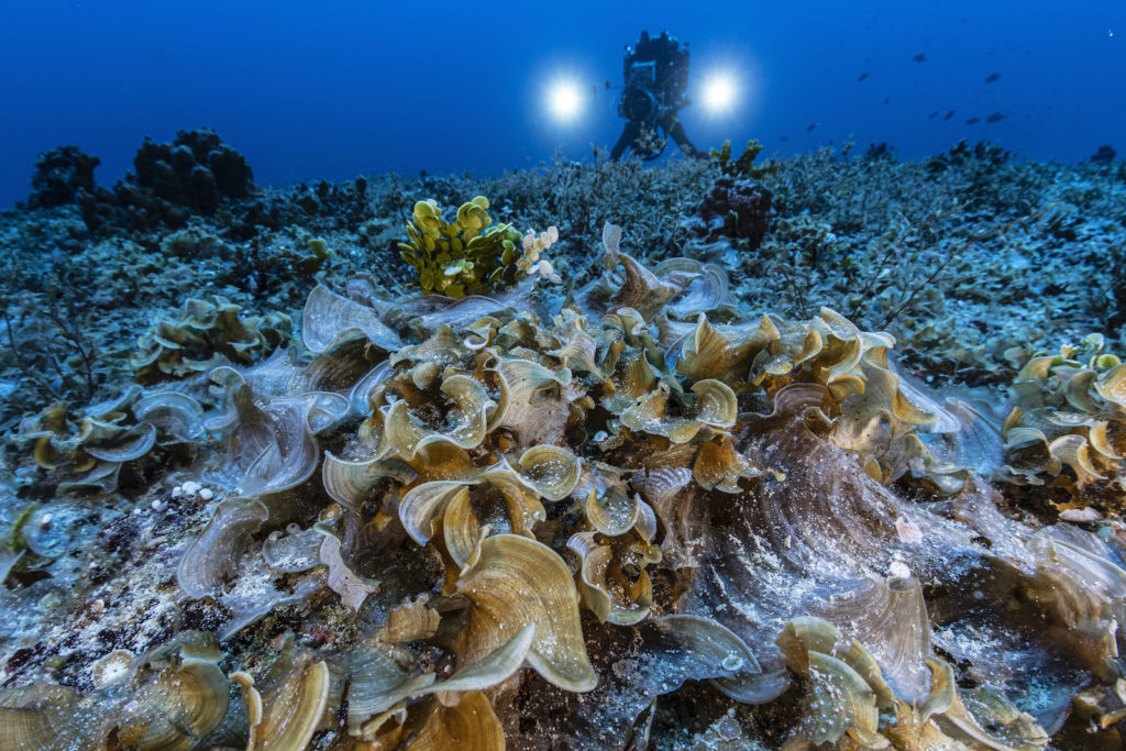
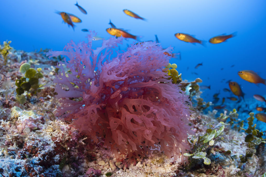
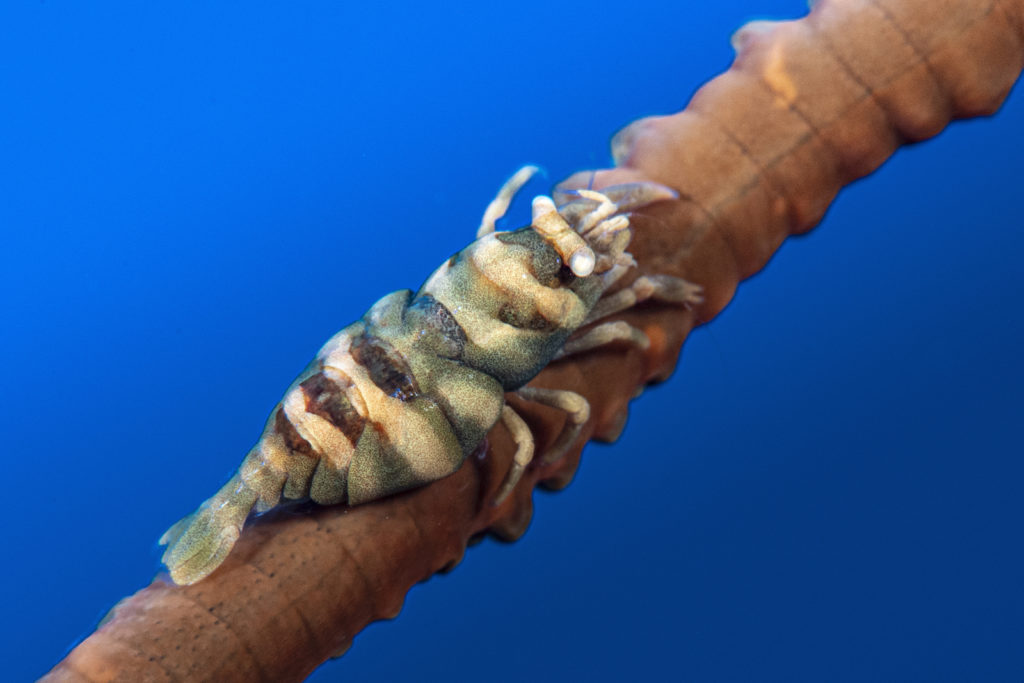
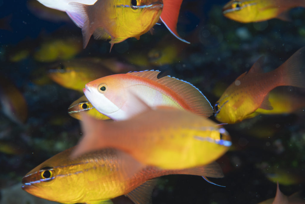
Never-before-seen images: The fauna and flora are highly diversified and very different from those found on Reunion Island. Large specimens of fish were observed (sharks, tunas, jacks and groupers…). Rocks, algae, molluscs and echinoderms were also collected. More than 120 species were recorded, including a dozen or so never-before-photographed species that are currently being identified.


